Prepare a croft plan
Viewing the Crofting Register map
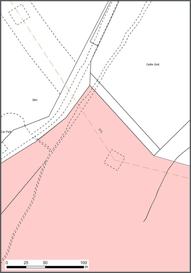
As displayed on figure 17, the crofting certificate plan for the majority of individual crofts will be A4 size and will show the extent of croft displayed against the Mastermap topographic layer. Certificate plans equal to or smaller than A3 will be produced at 1:1250, 1:2500, or 1:10,000 scale dependant on whether they fall in urban, rural and mountain/moorland areas. Plans prepared for crofts in these areas should be adequate for the corresponding scale.
Figure 17:
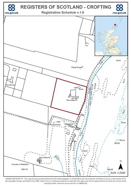
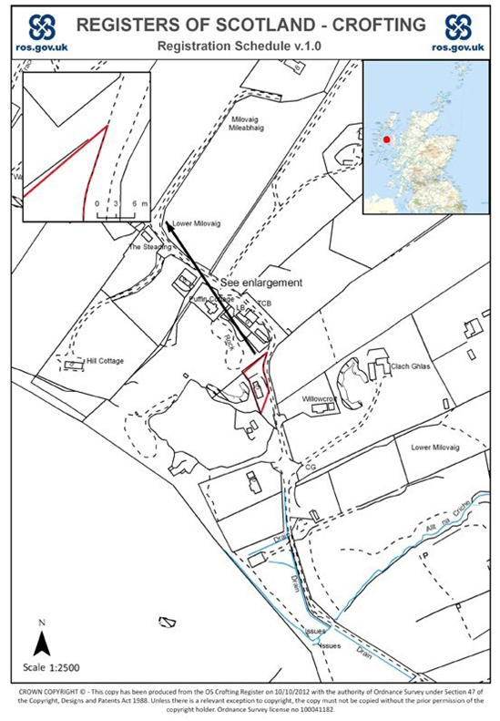
The comparatively small scale of the majority of crofting schedule plans will sometime mean that clarification of certain detail is required. This may be done by the use of an enlargement that can be added and inset on the face of the crofting schedule plan as shown on figure 18.
Figure 18:
Common grazings
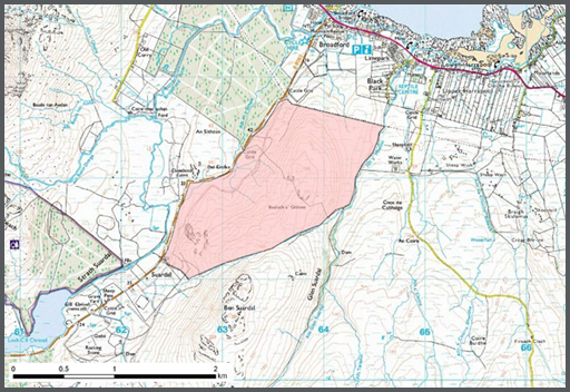
The average size of a common grazing is 596 hectares, with the largest comprising 10,899 hectares. It would be impractical to provide a plan for the crofting schedule for those areas using large-scale OS mapping as shown on figures 16, 17 and 18.
In order to limit the size of crofting schedule plans to a single A3 page, the larger common grazings and land held runrig will be displayed against OS raster mapping such as 1:25,000 which is used in OS Explorer series.
Figure 19:
It should be noted that users will be able to ‘zoom into’ Mastermap topographic layer when viewing the graphical extent of a registered application online. If the user were to ‘zoom into’ the northmost corner of the polygon displayed above then they would see the polygon was digitised against OS Mastermap topographic layer as shown on figure 20.
Figure 20: